Deeper Dive
After a close call with roadkill while driving home on a winding mountain road one evening, I wanted to create solutions that could help prevent these fatal accidents. Talking with the ecologists and road engineers at the Departments of Fish & Wildlife and Transportation, I learned that along the million miles of roadways in the US, less than half are traversable by animals. Consequent to this lack of traversability, WVCs are a major issue in many states and across the globe, especially in areas with large rural populations. Additionally, the lack of accessible wildlife activity data leaves current conservation efforts and infrastructure intended to mitigate WVCs ineffectual.
In this project, I developed a novel smart wildlife sentinel system (SWS) that aims to prevent WVCs via early driver warning and monitor ecological behavior based on species-classified wildlife activity data.
This solution has the potential in preventing WVCs worldwide, especially along dynamic road situations, and can significantly bolster current road ecological conservation efforts where there is a lack of accessible wildlife activity data.
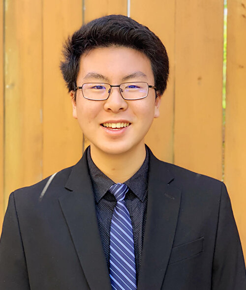
One of the many challenges I faced on this engineering journey was getting started. As an inexperienced 14-year-old, I wasn’t sure who to contact and where to begin my investigation. Without many ecological resources at school or around me, all I knew was: I had a lot of questions and ideas that I wanted to delve into. Countless cold emails later I was lucky enough to hear back from some generous researchers at the Oregon Department of Transportation (ODOT) and the Oregon Department of Fish & Wildlife (ODFW), respectively. After the first year of prototyping, I was interested in taking the SWS project to the next level and began to look into image recognition developments. Yet, that same year the COVID pandemic had hit, rendering many of the project deployment opportunities available with the ODOT/ODFW unavailable and all mentorship to be virtual.
However, it was in these difficult times I was connected with the fantastic team of engineers at WildMe for guidance which resulted in joining incubation programs at Conservation X Labs and the MIT EECS/CSAIL departments. Further discussion with the generous staff at the Stanford Jasper Ridge Biological Preserve would lead to incredible, in- depth advice and connect me to my current research mentorship at the UC Davis Road Ecology center. At school as well, my discussions with the science department were always rewarding and genuinely supportive. I’m deeply thankful to all the assistance I have been provided and continue to be afforded today. Nevertheless, without that first step in reaching out, this project would most certainly have not made it this far, and I wouldn’t have been able to meet such wonderful mentors along the way. With a promising third prototype currently being tested in the field at the Tualatin River National Wildlife Refuge, I hope that this project can be further matured and implemented along real roads soon.
As humanity continues to expand into the wild, we will inevitably come into conflict with nature. Short-term implementation goals of the SWS hope to deploy on local roads, but WVCs are a global challenge. My ultimate dream is that this project can make its way into real road situations worldwide by actively preventing accidents and aiding road ecology conservation efforts with data. In addition, with the rise in alternative imaging approaches, I plan on testing closed-circuit television or thermal imaging to expand on more effective wildlife activity capturing systems involving live video wildlife recognition. For communication, I am also looking into improving wireless capabilities by utilizing a mesh network-based network and connecting to the vehicle cloud for live traffic feed information on the go.


